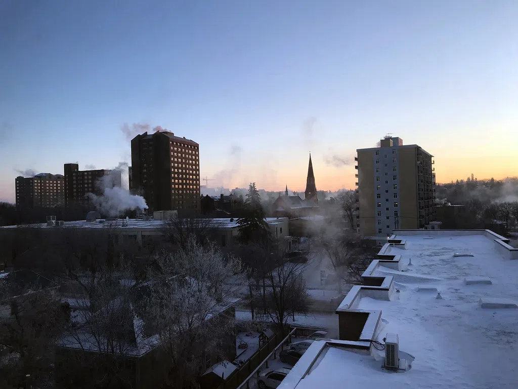
The cold snap that has settled in is covering the entire prairies right now.
The jet stream which is the upper-level pattern that drives day to day weather. Environment Canada meteorologist Danielle Desjardins says where the jet stream is placed is allowing a lot of arctic air to be ushered in over the prairies. And she says it is in a pattern that is stagnant so that’s why we are experiencing an extended period of cold, which won’t be easing in the near future.
She says any warming up on the weekend is only as good as daytime highs in the mid-minus teens and overnight lows in the mid-minus twenties.
Desjardins says this is the longest cold snap we’ve had so far this winter. But to set any records for overnight low temperature, it would have to be in the minus-forties. However, we are – in terms of daytime highs – a good 15 to 20 degrees below normal. She says a high of minus-six and low of -16 degrees Celsius is considered normal for this time of year.
Desjardins says we might see the cold weather start to lift next Wednesday.


