
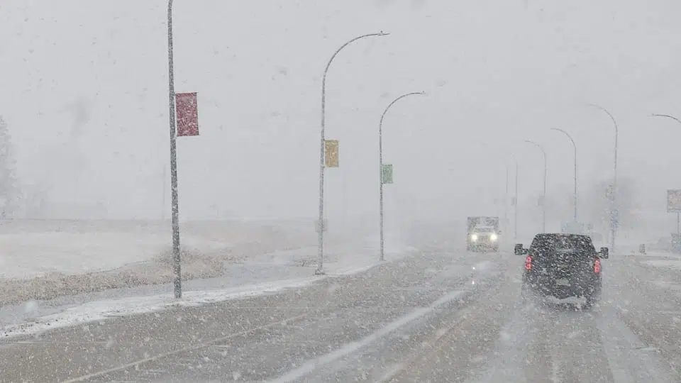
Tomorrow will mark the return of snow following a stretch of above-average temperatures for February.
Environment Canada has already issued a special weather statement on the coming snowfall, telling Saskatchewan residents to expect around 15 to 20 centimetres of snow.
Brian Proctor, an Environment Canada Meteorologist, says the snow is coming from a system moving east out of British Columbia.
“Initially the portion of Saskatchewan that will see the most snowfall will be the Lloydminster area, up and towards Meadow Lake. As we move through overnight and into Tuesday, we’ll watch for that snowfall to start spreading further to the east, really along north of the yellowhead corridor primarily, but much of the province will see some snowfall associated with this pattern.”
Proctor adds that the system will bring more snow and chillier temperatures than what is usual for February.
“We’re looking for daytime highs Thursday and Friday, about minus 19, minus 18. And typically, this time of year in the Saskatoon area daytime highs should be about minus five. So much colder than what we’ve been experiencing through the last ten days or so. Lots of blustery winds as well, right through the Wednesday to Thursday period at this point in time, so watch for a real deterioration of driving conditions out there.”
He says that as February continues, temperatures will creep closer the seasonal average.