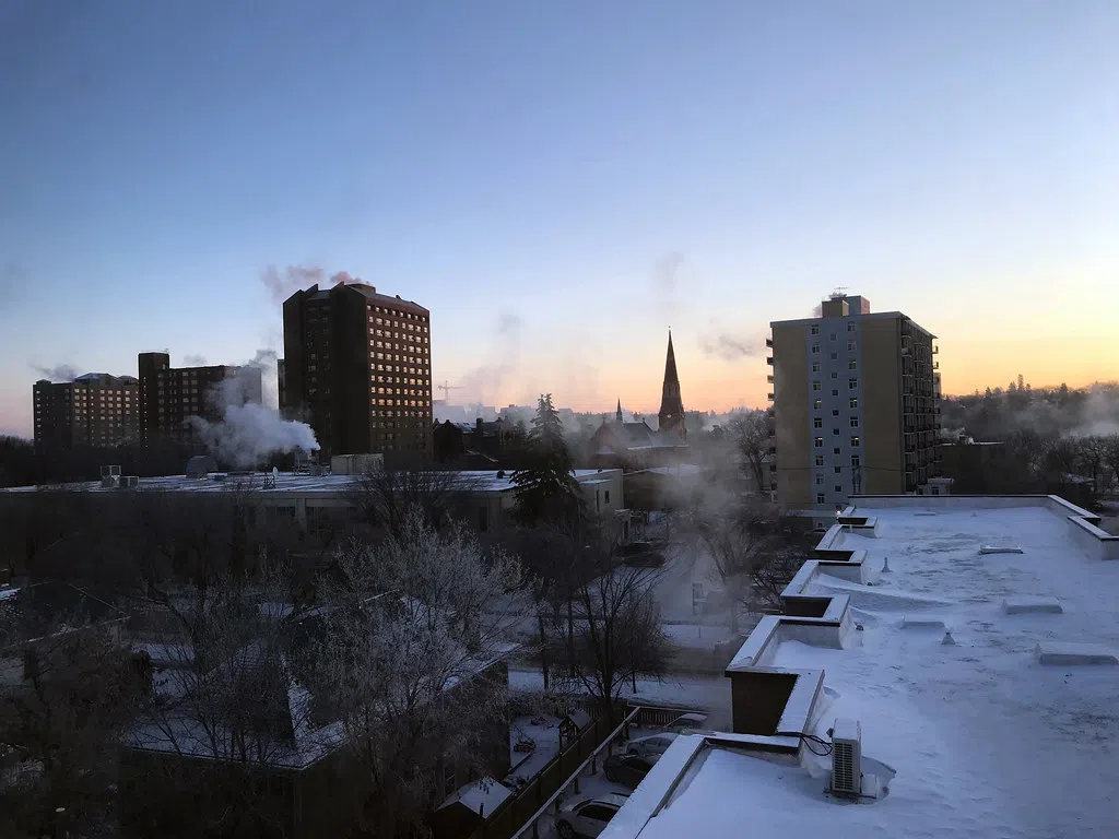
The snowfall warning for Melfort, Tisdale, Canora, Hudson Bay, Yorkton, Esterhazy regions have ended. Environment Canada say the low-pressure system that moved through the western side of the province over the last few days produced an area of heavy snow stretching from Meadow Lake southeastward to Estevan. Total snowfall accumulations are likely to be in the 25 to 35 centimetre range by Thursday morning.
At midday Wednesday some of the bigger snowfall totals included Holbein at 27.9 centimetres, Emma Lake at 25.4 and Prince Albert at 25 centimetres. There is also a large area of heavier snow north of Meadow Lake. Environment Canada Meteorologist Danielle Desjardins says, “Heavier amounts to the south, extend through Prince Albert, just east of Saskatoon, and Regina’s right on the edge. There’s a line basically extending Prince Albert to the southeast corner, where may have seen upwards of 25, maybe 30 centimetres
While those of us who already experienced the snow and blowing snow will now experience extreme cold. An extreme cold warning is in effect for an area stretching from the Alberta border including Meadow Lake and North Battleford east almost to Watrous including Saskatoon and then south encompassing Swift Current and Moose Jaw. A period of very cold wind chills near or below minus 40 is expected. Conditions will moderate during the day for some areas, but very cold wind chills will return overnight through the rest of the week.
Desjardins says, “In behind this system, we’re going to see temperatures falling to below normal, with the ridge of high pressure and some colder Arctic air to the province.” She forecasts that daytime highs will be in the minus teens and overnight lows well into the minus 20s over the next week or so.
.”


