")
Retired Environment Canada meteorologist Terri Lang posted to social media Tuesday that Saskatchewan was about to experience two different weather systems, on two different days, impacting two different areas.
The first system is an Alberta low that will cross central Saskatchewan on Wednesday. This time, it will track further north than its usual Highway 16 route and take a more west to east track. Snowfall amounts with this system will be in the 10 to 20 cm range with heavier pockets likely. The southern edge of the precipitation may fall as a mix of rain and snow or just straight rain. The heaviest snow looks like it will be north of Prince Albert.
The second system is a Montana Low that will move across southern Saskatchewan on Thursday. Because the temperatures will be relatively warm, she says the precipitation will be a sloppy mess of wet heavy snow, freezing rain, and rain. Rain is more likely closer to the US border.
As well it will Lang says it will be tough to pin snowfall amounts down with melting expected to occur and while 10 to 20 centimetres is possible it will be wet and slushy. This is the system that will essentially impact all of southern Saskatchewan – just draw a line west from Alberta and east to Manitoba through Unity, Wilkie, Saskatoon, Humboldt and across to Endeavor – that is the northern edge of the special weather statement currently in effect.
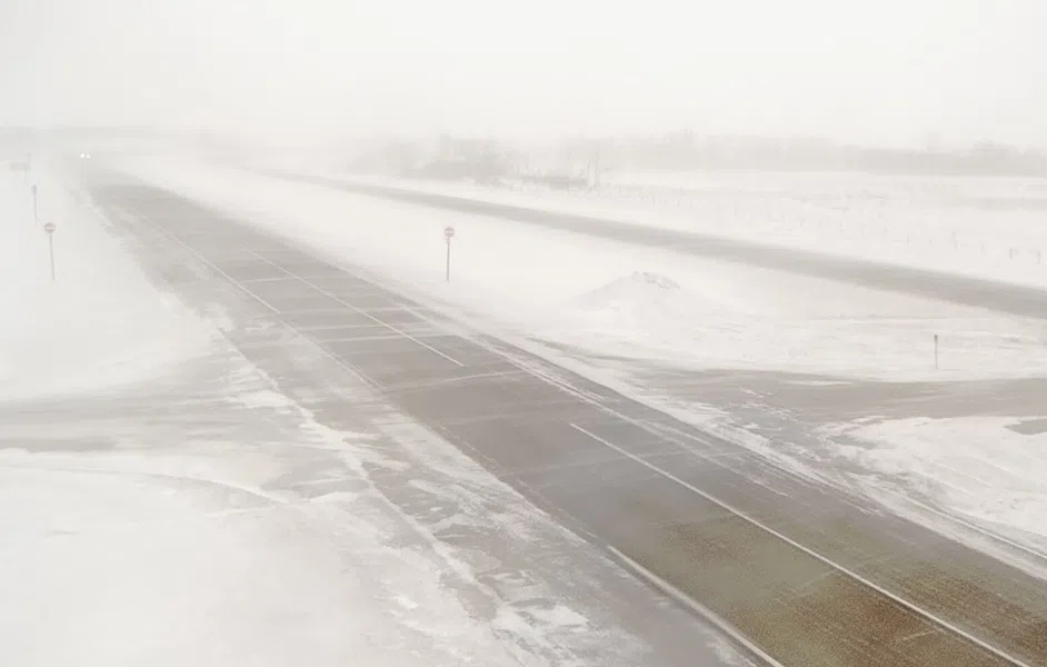
Meanwhile, Lloydminster was reporting travel not recommended on highways north, south and east of the community by 7:30 a.m. Wednesday due to snow, ice, packed snow and snow drifts. And in Keliher, Saskatchewan Tuesday night, social media post shows a thunderstorm with rain, lightning and lots of thunder.
Map 1 is the 24 hour forecast snowfall amounts for Wednesday to midnight.

Map 2 is the 24 hour forecast snowfall amounts for Thursday to midnight. Both from the Canadian short range model (RDPS).