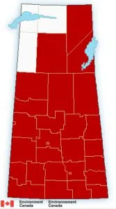
It may not look like spring in Saskatchewan right now with winter storm warnings across much of the province.
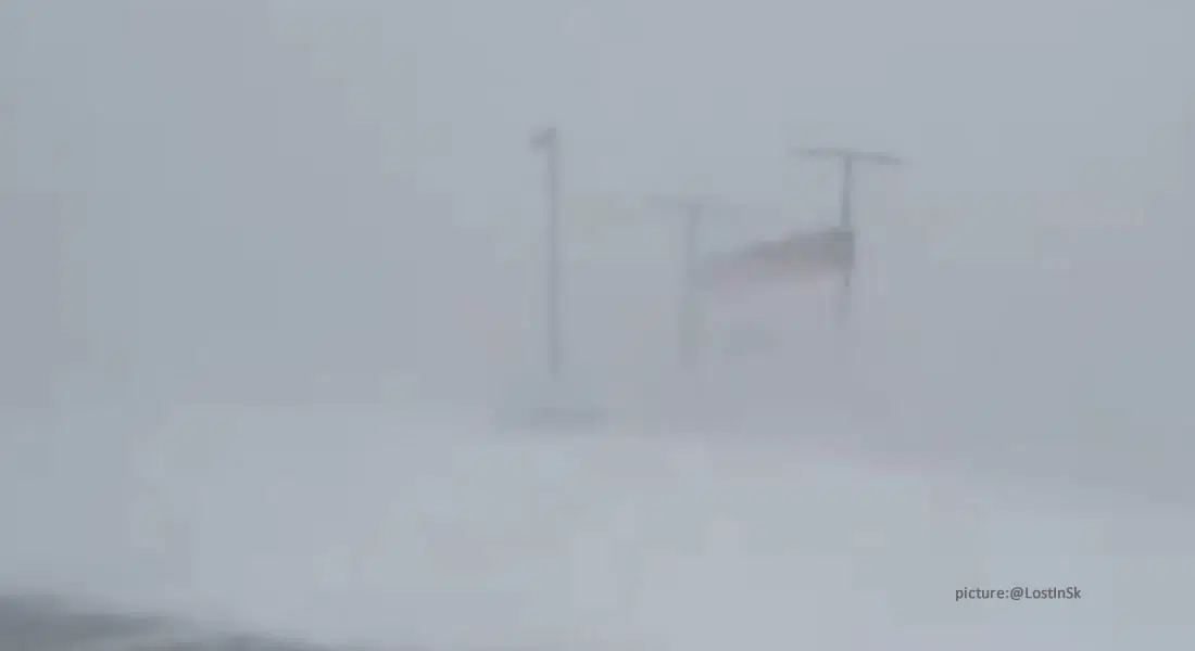
Environment Canada meteorologist Terri Lang understands that it seems odd to have had record-breaking warm temperatures on Sunday followed by freezing rain, snow and blowing snow and reduced visibility today, but the warm weather actually fuelled the storm system coming from Alberta.
The forecast is for 10 to 15 centimetres of snow for western and central regions of the province, and more like 4 centimetres further east, but still with blowing snow and reduced visibility.
Because of the rain and freezing rain beforehand, and the snow and blowing snow, Lang urges for caution on the roads and suggests not heading out on the highway if you don’t have to.
It’s expected the snow will dissipate around midnight, but there will still be some light snow tomorrow and a wind around 50 to 60 km/h, and warming up on Wednesday.
Lang says if you are not a fan of winter conditions, unlike the big storm in November which extended Saskatoon’s municipal election, there isn’t a full winter ahead of us.
Storm Alert Map (as of 11am Mar29)