
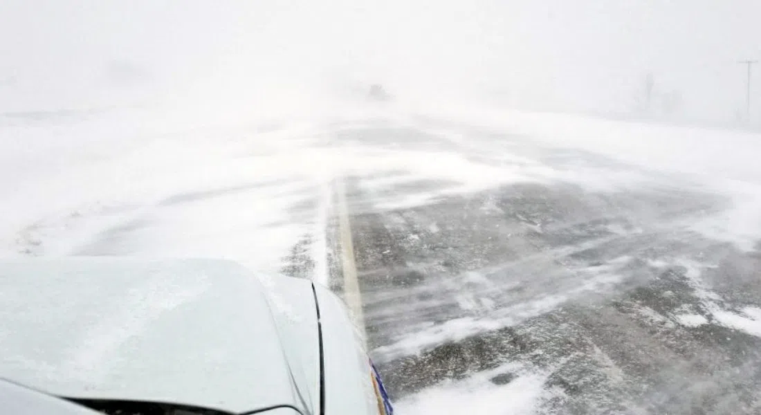
There is a snowfall warning for south central Saskatchewan covering the province from east to west. 15 to 20 cm is expected Snow at times heavy and gradually tapering off overnight into tomorrow morning. Environment Canada has also issued a winter storm warning for Lloydminster, the Battlefords, Unity, Maidstone, and further south to Kindersley, Rosetown, and Biggar areas, and there is a blowing snow advisory further south. with less snow, but more wind – gusting up to 70 km/h in some areas.
Environment Canada meteorologist Shannon Moodie says snowfall amounts could be up to 15 centimetres in some areas, but it’s over a 36-hour period. The highest snowfall will be in central Saskatchewan. She expects the snow will taper off later this evening (Mon) and overnight, then Tuesday it’s going to get cold. Moodie says the forecast for Saskatoon on Friday is a high of -23. For the region this week, the highs will be in the minus teens and the lows dipping into the minus twenties.
As a reference, the normal highs are around -5 and the normal lows are around -20.
The City of Saskatoon says road crews worked through the night and the work continues today, because of the snowfall warning, with 15 to 20 centimetres in the forecast. As it continues to snow, road crews will focus on Circle Drive and applying de-icing materials. The priority is to keep the driving lanes clear on Circle and the busiest freeway and arterial streets, then when it stops snow and those lanes are graded, they can move into the neighbourhood priority 2 and 3 streets. Then, if more snow falls, crews will return to the priority 1 streets.
The City urges drivers to adjust their driving to the road conditions and leave extra room and time for your commute.