
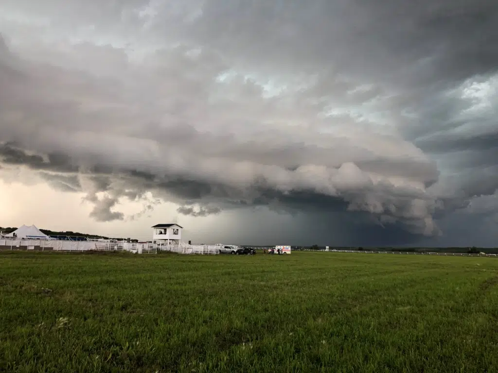
Environment Canada’s Terri Lang says all the storms that occurred in the province Sunday came from one synoptic weather system which she describes it as “kind of a textbook set up when it comes to severe weather”.
“Those storms with winds gusting over 100 kilometres per hour chucking golf ball sized hail as it goes along moving along itself at 30 to 40 km/hr is going to do a lot of damage. That’s what we’re seeing very much across much of the province, and it stretched from the northwest grainbelt all the way through to the northeast and down to the south there,” says Terri Lang as she described the breadth of the weather system.
Lang says what hit Estevan and Weyburn, where wind speeds of 113 km/h was recorded in addition to golf ball and almost baseball sized hail, was a plough wind. She says they are often as strong as an EF1 or EF2 tornado and can do much greater damage over a larger area than a tornado can.
According to the Mayor in Carrot River there were roofs ripped off of multiple buildings including the community hall, in addition to houses as well as a car wash, with quite a few power poles downed as well as many trees and bins tipped over in the industrial part of the town.
As severe weather rolled through Saskatchewan Sunday the City of Saskatoon activated the Emergency Operations Centre after a tornado watch was issued but no significant severe weather was experienced in Saskatoon. Environment Canada meteorologist Terri Lang says, “there were storms to the north and storms to the south of the city. Essentially the city just threaded the needle, and it was absolutely pure luck.”